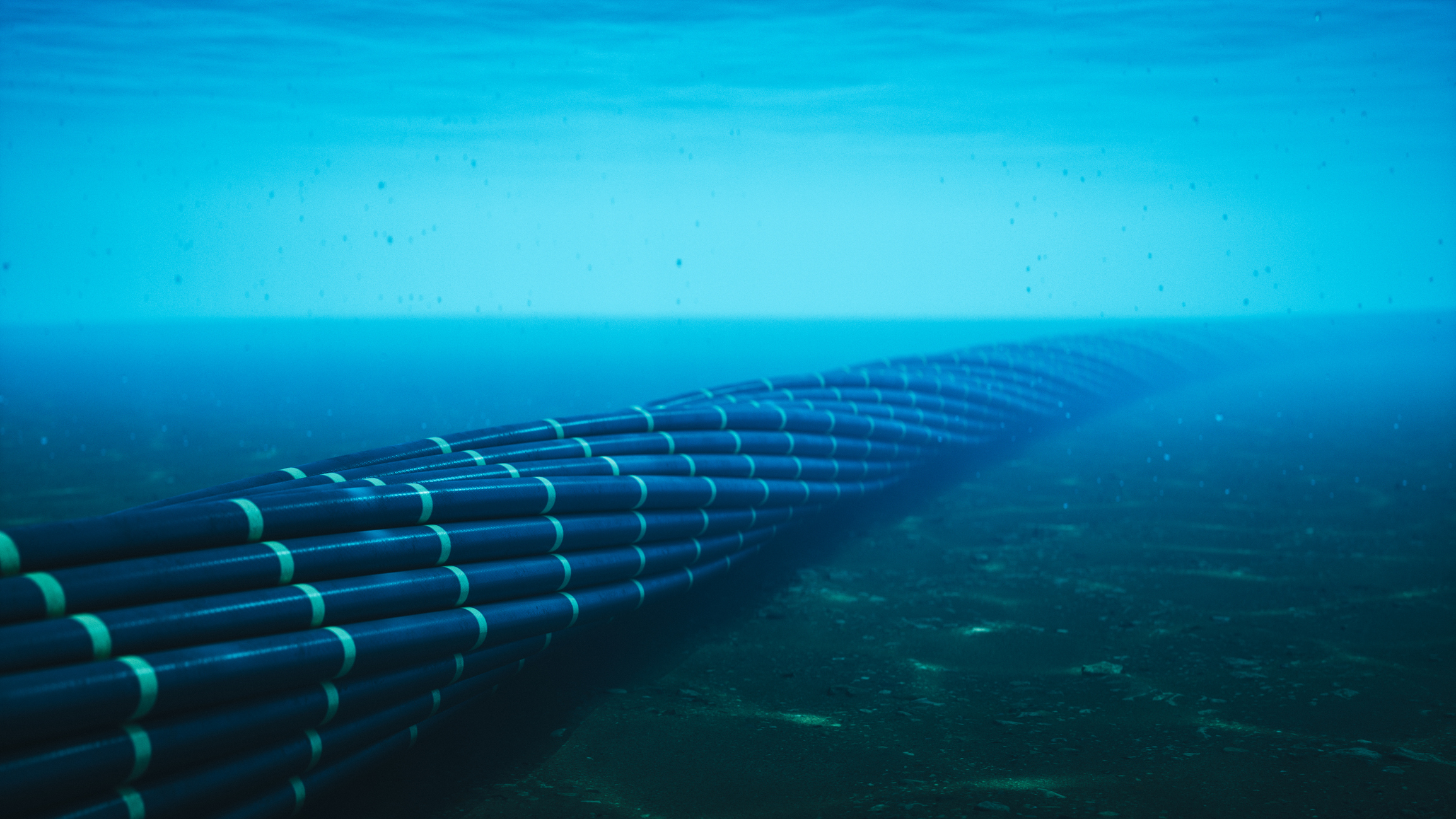
Moscow is apparently using commercial fishing trawlers to map undersea cables connecting the U.S. and Europe. According to The Telegraph, it has uncovered over 500 incidents where Russian fishing boats loitered above critical communications cables over a span of four and a half years. All the data came from Global Fishing Watch, which uses satellite data to track vessels over the open ocean. The satellite tracks of these suspicious Russian ships are then cross-referenced over nautical charts that marked the locations of undersea cables.
While the general location of most undersea cables is clearly marked on nautical charts so ships can avoid them, any operation involving undersea cables requires more accurate positioning data. The Telegraph gave three examples of Russian trawlers seemingly surveying critical infrastructure. One ship followed the track of nine separate cables under the Atlantic, including the Atlantic Crossing 1 telecommunications cable and the decommissioned TAT-14 undersea cable owned by Sprint Corporation. Another ship loitered near the trans-Atlantic Hibernia Express cable and then followed the route of the Shefa-2 cable that connects Shetland to the Faroe Islands, while a third partially followed the tracks of the Amitie and Grace Hopper undersea cables, which connects the UK, France, and Spain to the U.S.
These ships have slowed multiple times, sometimes traveling at speeds between two and three knots. A senior naval officer said that the ships suspected of conducting these intelligence activities are large enough to house an uncrewed surface vehicle (USV) or remotely operated vehicle (ROV), and that they could deploy tethered units at very low speeds. “If you put a sonar-equipped ROV 100 meters above a feature of interest, you can map it with millimeter precision,” one naval officer said. A NATO representative also told the publication, “We’re absolutely aware of what Russian civilian fishing ships are up to and where ... Some of these ships have never seen a single fish on their deck.”
Undersea cables are the backbone of the modern interconnected world, and they carry economic activity worth billions, if not trillions of dollars. It’s estimated that around $87 billion worth of economic activity passes through this undersea infrastructure, and that they would be one of the first targets if ever a conflict between NATO and Russia erupts. These trawlers are part of Russia’s “gray-zone” warfare, where the actions of these commercial vessels cannot easily be traced back to the Kremlin.
Even though undersea cables are considered critical infrastructure, the distances that they cover make it quite difficult, if not impossible, for nations to conduct constant patrols to protect them. The majority of their length also often sits in international waters, meaning vessels should be able to freely pass over and map undersea cables. While navies shadow these questionable vessels, their suspicious operation is generally not grounds for boarding, detention, or seizure.
Get Tom's Hardware's best news and in-depth reviews, straight to your inbox.
Jowi Morales is a tech enthusiast with years of experience working in the industry. He’s been writing with several tech publications since 2021, where he’s been interested in tech hardware and consumer electronics.

 1 day ago
18






 English (US) ·